 |
| The kids and I were very excited to explore this "ghost" town! |
 |
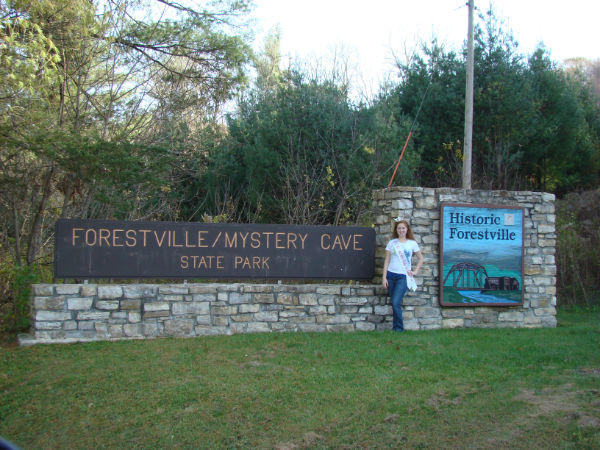
| Forestville/ Mystery Cave State Park |
 |
This is the bridge on the outskirts of
Forestville. |
Forestville/ Mystery Cave State Park interprets the story of Minnesota before the railroads and also shows the geology of a fascinating cave. First, the town of Forestville; it was founded in 1853 and became the rural trade center of the region. Many other towns just like it sprang up all over the state. It saw farmers from around the region bring their crops to town and of course, the area residents would be there to buy them and sell their wares. It was a good mixture of buyers and sellers. The town grew by leaps and bounds. In only five years, 1853, the town had grown to 100 citizens and the town itself boasted of 20 buildings including two stores, a mill, brickyard, two hotels, school, and a few trades, such as blacksmithing. In 1868, the first railroad to reach the region, the Southern Minnesota, decided to bypass Forestville. The town's businesses started to lose their markets almost immediately, while new boom towns sprang up along the new Southern Minnesota lines. By 1890, over half the town's residents had left, and most of those remaining worked on the farm of Thomas J. Meighan, whose parents had founded the town and one of the stores. By 1910 the town ceased to exist.
The story of Mystery Cave starts about 200 million years ago as sediment built up on the bottom of the shallow seas covering this region of Minnesota. As the layers of sediment thickened, they compressed the bottom layers to form limestone, shale, and sandstone. To get an idea of the dramatic change this region has seen, consider that we were once at the bottom of a shallow sea and now the region is some 1300 feet above sea level. Today we call this the "karst region" of Minnesota because karst occurs where soluble rocks such as limestone are easily decayed by rainwater. Evidence of this decay can be seen readily via sinkholes and caves, hence, Mystery Cave. The cave has over 12 miles of passages making it the largest cave in Minnesota. Take a day to visit this hidden gem of the State Parks and Trails system! You'll be glad you did.
 |
This is the original Meighan Store
in Forestville. |
 |
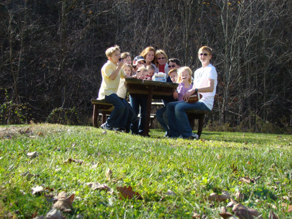
We earned a patch after visiting 8 state parks as members of the "Passport Club" which is available at every state park! |
 |
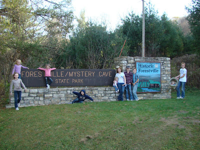
| Our family on main street, Forestville, MN |


 Minneopa State Park is Minnesota's third state park. In 1905 the State set aside this area near Mankato Minneopa for public use, thus establishing Minneopa State Park. The beauty and splendor of this area was well known and thousands of tourists came on the raiload to Minneopa. The small town had sprung up around a rail depot in 1870. More tourists came by steam powered paddle boat up the Minnesota River and then walked to the falls. Local people came from miles around by wagon to relax with their families. The word "minneopa" means "water falling twice" in the Dakota language and what all these tourists came to see was a beautiful series of water falls gently flowing through the town. Tradesmen also came for the Seppmann mill, which was completed in 1864 and could grind as much as 150 bushels of wheat into flour, daily. Droughts in the 1870s brought three consecutive grasshopper plagues which pretty much wiped out the area crops and brought about the end of the little town of Minneopa. The depot did continue for a while, to serve tourists that kept coming for the falls and family recreation, but soon ceased to exist. Today, you can still enjoy the picnic area next to the falls like the park's other visitors have for almost two hundred years. There are lots of hiking opportunities, which I enjoyed, and of course, a modern eco-tourism activity, Geo-caching, is tons of fun here, too! Get on the train or hitch your wagon up and head on out to Minneopa State Park!